Mapping contamination in real-time : overview of latest tools and methods
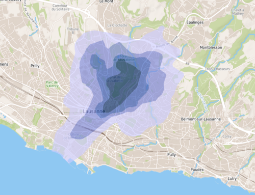
New tools allow real-time contamination mapping. On site measurement devices, such as handheld XRF analyzers, MIP or LIBS, allow to assess pollution levels directly in the field. Coordinates of data points can be measured using a GPS and data can be transferred by wireless. Software solutions may then be used to map data in real-time or after a field day. But we can go a step further ! Geostatistical methods can be used to map contamination all over the area,and to optimize position of new data points, in the more uncertain areas.
In the 2000′, eOde was implied in the development of a process combining rapidly on site measurements and geostatistics (REPERAGE project). Computer tools specific to real-time mapping have been developed during the latest years. eOde conducted a short overview of the newest projects at the Axelera technical day in Lyon, April 27, 2015.