Project Description

Geostatistical estimation of a contaminated area and its in situ remediated mass of chlorinated hydrocarbons
Assessing the effectiveness of an in situ remediation action requires other methods than those applied to the ex situ extractive processes. Quantities of remediated soil can indeed not be obtained by a simple addition of the volumes extracted from the contaminated site. The mass of extracted pollutants is thus usually deduced from the mass of substances that is accumulated or treated in the treatment facility, for example from the mass adsorbed on active carbon filters. The residual soil contamination is also checked after clean up, by conducting soil surveys in the remediated area.
An original approach is applied by eOde to a chlorinated hydrocarbons contaminated site, to assess the mass of substances extracted from the site after clean up, as well as the residual contamination in the treated area.
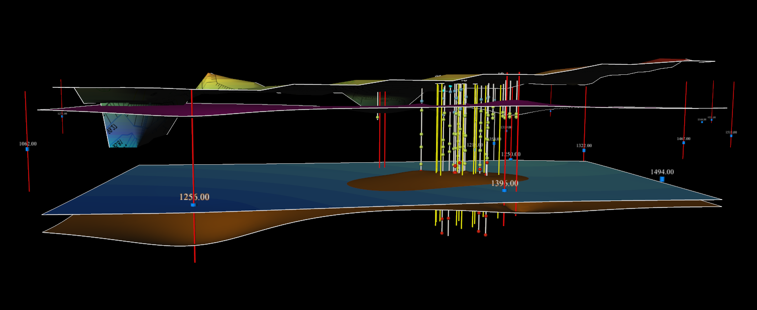
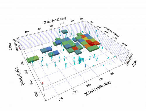
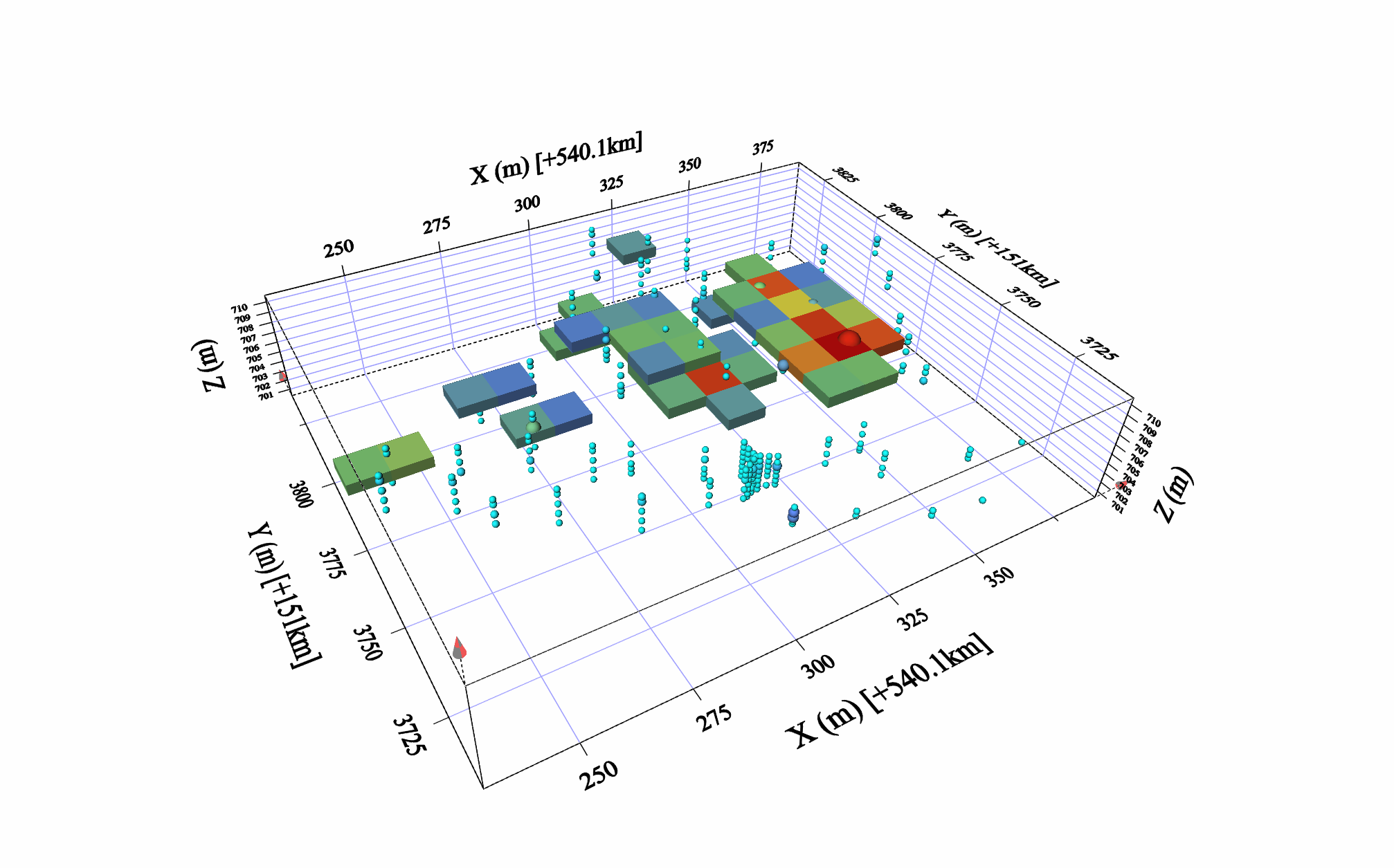
First of all, a geostatistical estimation of the pollutant mass present in the focused area is carried out, using the investigation data to build an original state. A geostatistical estimation of the residual mass of pollutant is then conducted at the end of the clean up stage, using new boreholes for collecting soil samples in the treated region, to build a final state. The total mass of pollutants extracted from the zone is equal to the difference between the 2 estimations.
The original state involves 2 working steps :
- Delineation and location of the source zone, defined as the area where the pollutant concentrations exceed the thresholds indicating a high probability to find organic phase in soil,
- Calculation of the mass of contaminants present in the source zone.
The final state is limited to the geostatistical computation of the pollutant mass in the source zone after clean up.
Such modeling is obtained by combining geostatistical methods and calculations of the contaminants distribution in the 4 soil phases under the hypothesis of local equilibrium. A geostatistical software and a code dedicated to the computation of the distribution of pollutants are purposely jointly used.
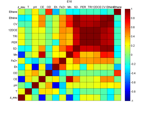
Furthermore, the accuracy of the estimations is increased by integrating the correlations between the laboratory soil pollutant concentrations and the PID on site measurements in the modeling. Geostatistical models differenciate also the lithological facies with various contaminant levels and regulatory thresholds.
This work is carried out for the remediation company Soleo Services on a contaminated site located in the neighborhood of Paris.