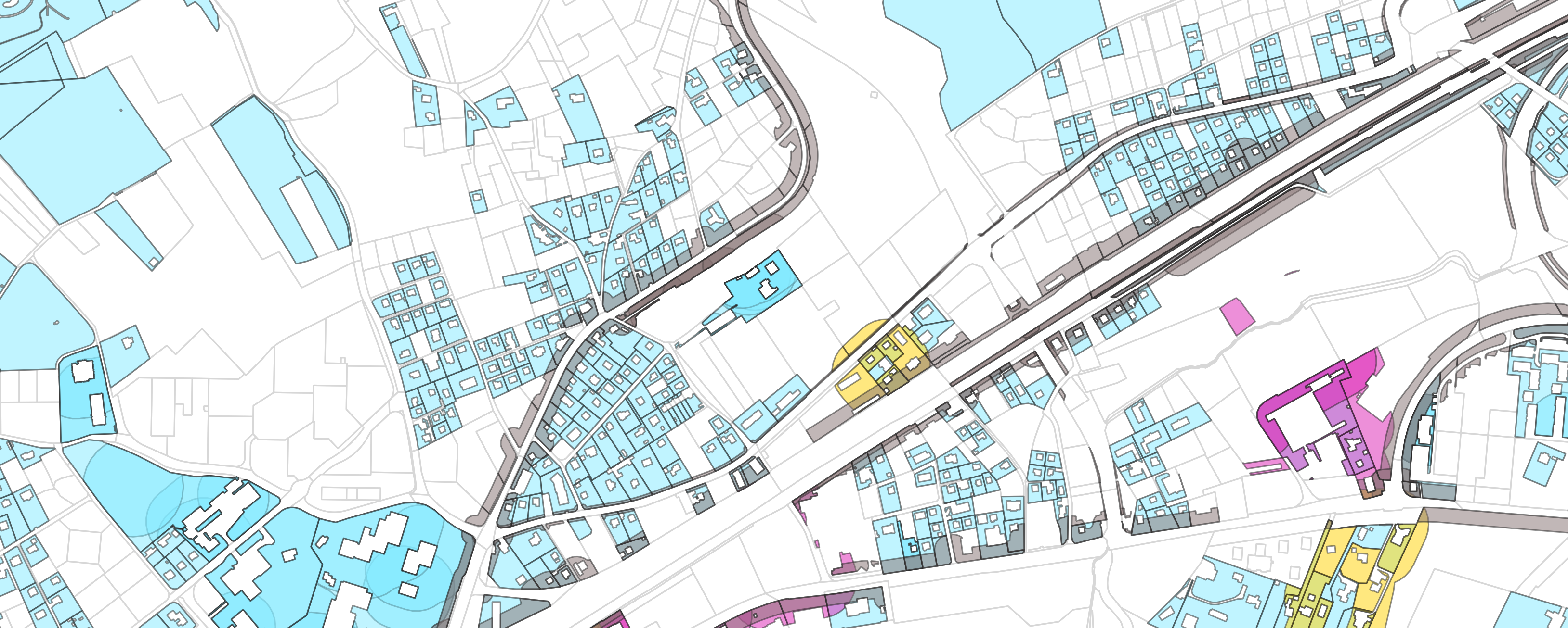
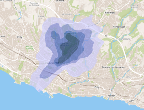
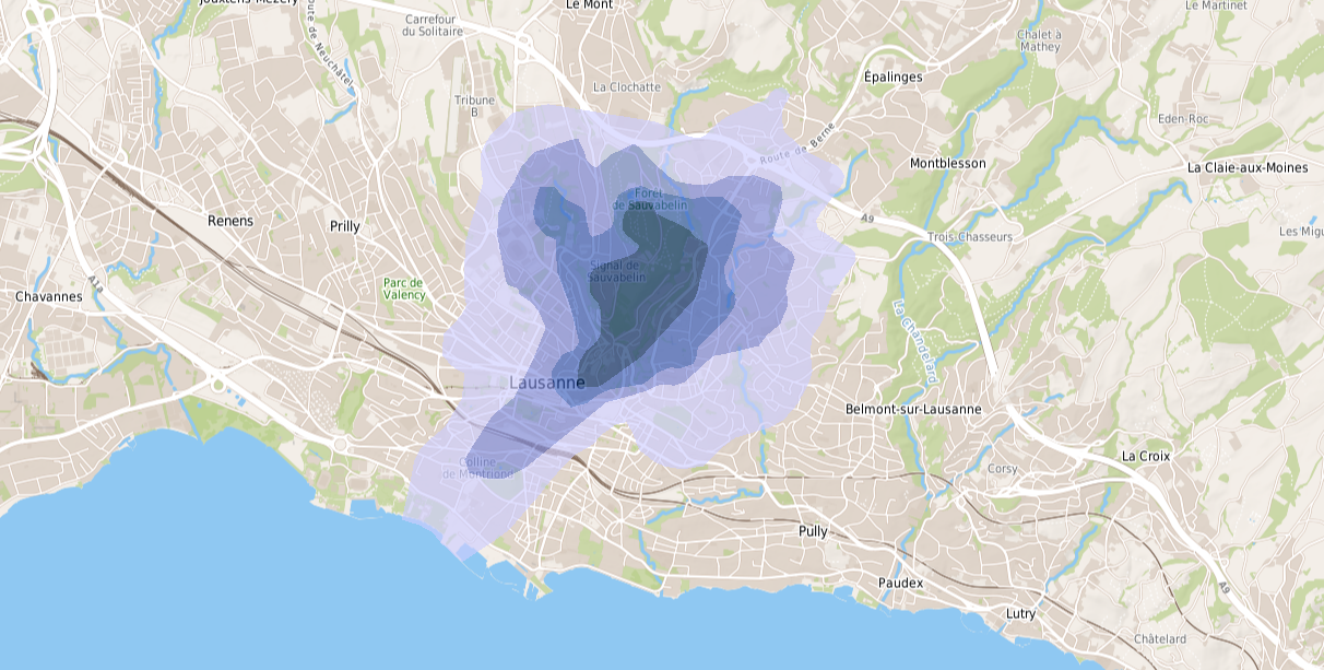
In 2020 and 2021, several mandates have been entrusted to us to develop an inventory methodology of potentially polluted soils that could present a health risk for the population, especially young childrens. The objective of the authorities is to have indicative soil maps of chemical pollution risks at the scale of a municipality, a district or a canton. These maps will be used primarily as decision-making, planning and land management tools. In this way, the most sensitive areas will be located and can be subject to soil analyses to confirm or not the pollution, the processing of building permit applications involving soils covered by the OSol and the OSites will be facilitated and harmonized.
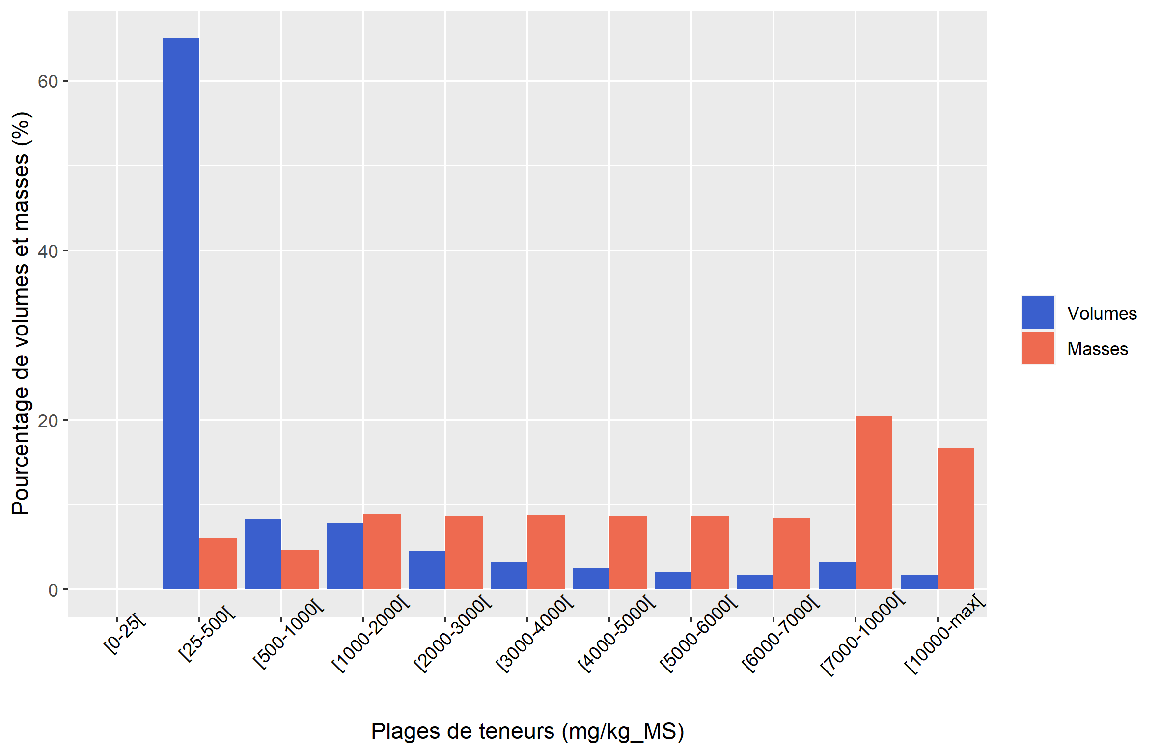
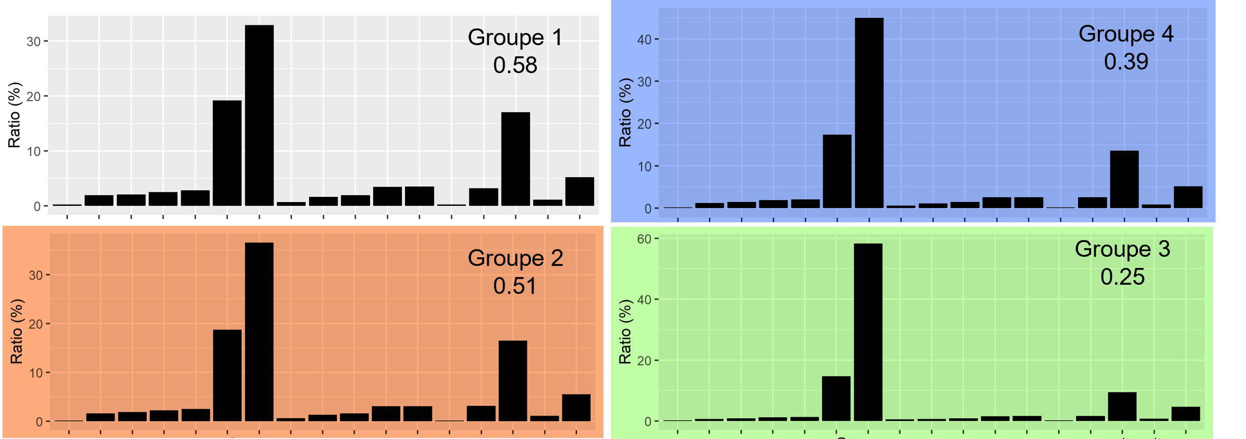
The methodology is based on the cross-referencing of public geodata by spatial queries in a GIS – qualifying potential diffuse or point sources of pollution, as well as soil surfaces and their use – and on differentiated selections of soil surfaces from the maps according to needs. The studies carried out for the municipality of Neuchâtel, the canton of Vaud and the FOEN indicate that the existing geodata are generally suitable for the elaboration of these maps at the scale of a city, a district or a canton. On the other hand, some information and (geo)data differentiating certain land uses or relating the history of their use are still dispersed, and this deficiency biases the representation of soils influenced by diffuse pollution on the maps. The results of these mandates show a promising development of such tools, although challenges remain to ensure the representativeness and reliability of mapped risks.

