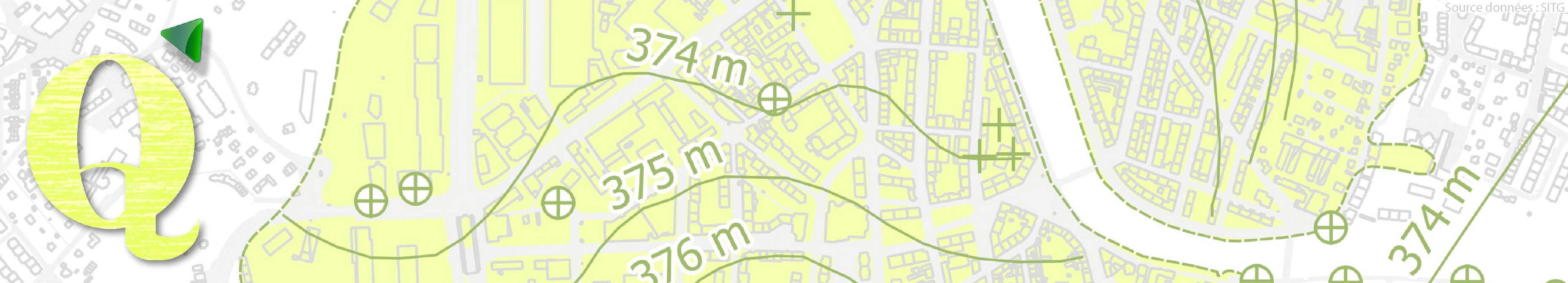
This training course is designed for environmental professionals and users of geographic data who wish to get started with QGIS, a leader among open source Geographic Information Systems (GIS).
More about QGIS
Taught by Daniel Kaeser, a hydrogeologist and GIS expert, this course introduces essential tools related to vector data processing. The participants will gain practical knowledge through step-by-step exercises that cover issues such as :
- Importing, converting and integrating various geographic datasets
- Creating and editing data
- Spatial and attribute queries
- Designing maps
- Data processing and geometric operations
Flyer and registration form here
Dates (1 day course)
Tuesday 30 August 2016, 9:00 to 17:00
Tudesday 13 September 2016, 9:00 to 17:00
Registration deadline
1st July 2016
(The number of participants is limited to 15 per course, in order to promote interactions with the teacher)
Location
FSRM, Rue de l’Orangerie 1, CH-2000 Neuchâtel (Map and explanation in PDF)
Cost
CHF 750 per person (NGOs : 350 /pers.) incl. taxes , lunch, coffee breaks and paper course notes.
Information and email for sending the registration form
Daniel Käser
eOde Sàrl
Tél. +41 79 596 36 51
E-Mail: danielkaeser@eode.ch
Organiser
eOde