What is QGIS?
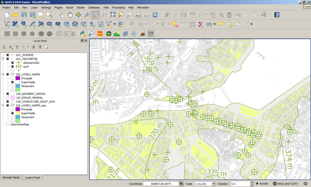
Launched in 2002, QGIS is a free and open source Geographic Information System, licensed under the GNU General Public License. It is widely recognised for its intuitive interface, the numerous formats it supports, and the wide access it provides to functionalities of other open source software (e.g., GRASS, SAGA, PostgreSQL). QGIS runs on Linux, Unix, Mac OS X and Windows. Discover the software on QGIS.org and some QGIS case studies.
Who uses QGIS?
QGIS is used by private companies, public agencies, and universities. In Switzerland, the Canton of Solothurn has been using QGIS as a desktop application since 2006. Towns such as Thun, Olten, Uster, Nyon, Vevey, Pully and Morges are also QGIS users. The Technical Universities (EPFL, ETHZ), as well as the Universities of Bern and Geneva work with this software for both research and teaching.
Why get trained?
Since QGIS is free, the essential investment lies in training. The overall cost is therefore substantially lower than for commercial products, many of which restrict the number of licenses and impose additional costs for specific tools. Furthermore, the committment of its development team (120+) suggests that the software will continue to grow on the long run. As for commercial GIS, a formal training provided by an expert reduces the learning curve, and allows for better assessing the possibilities of QGIS.
Why is QGIS not as widespread as commercial software ?
The rapid maturation of QGIS, and its adoption as an entreprise level application is only recent. Not long ago, most students in Switzerland were “learning GIS with ESRI products”, which have had a decade or more head start (A QGIS/ArcGIS comparison may be viewed here). As such commercial suites were the de facto standard, they became deeply embedded inside many organisations. Today as a result, their replacement is often perceived as “difficult if not undesireable” (opinions on this topic here.).
Key-features of QGIS…
- Integrated or connected open source software (hydrology, terrain analysis, database, webclient,…)
- Large number of plugins
- Easy handling of coordinate systems and projections
- Useful layout composer
- Intuitive calculator for raster data and attribute tables
- Great community hub for users
Users are encouraged to support QGIS development!


