Courses “a la carte” are adjusted to your needs and level of expertise.
As an example, a specific training session will be organized on 24 January 2017 for the national research center NCCR On the move dedicated to the migration and mobility studies, managed by the University of Neuchâtel. The course will be delivered to a dozen of researchers of various swiss universities involved in the project.
To discuss an offer (topic, duration, location, language,…) or a group discount, please contact Daniel Käser (danielkaeser@eode.ch).
Special discounts are available for NGOs.
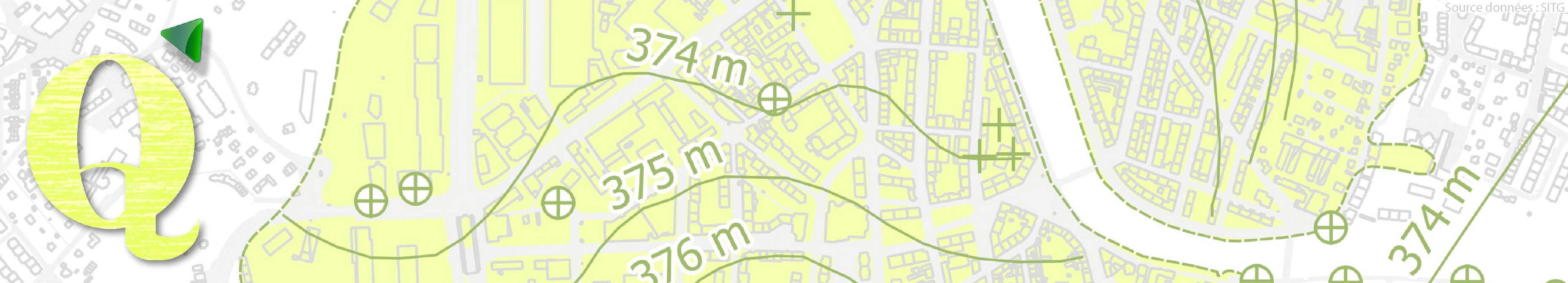
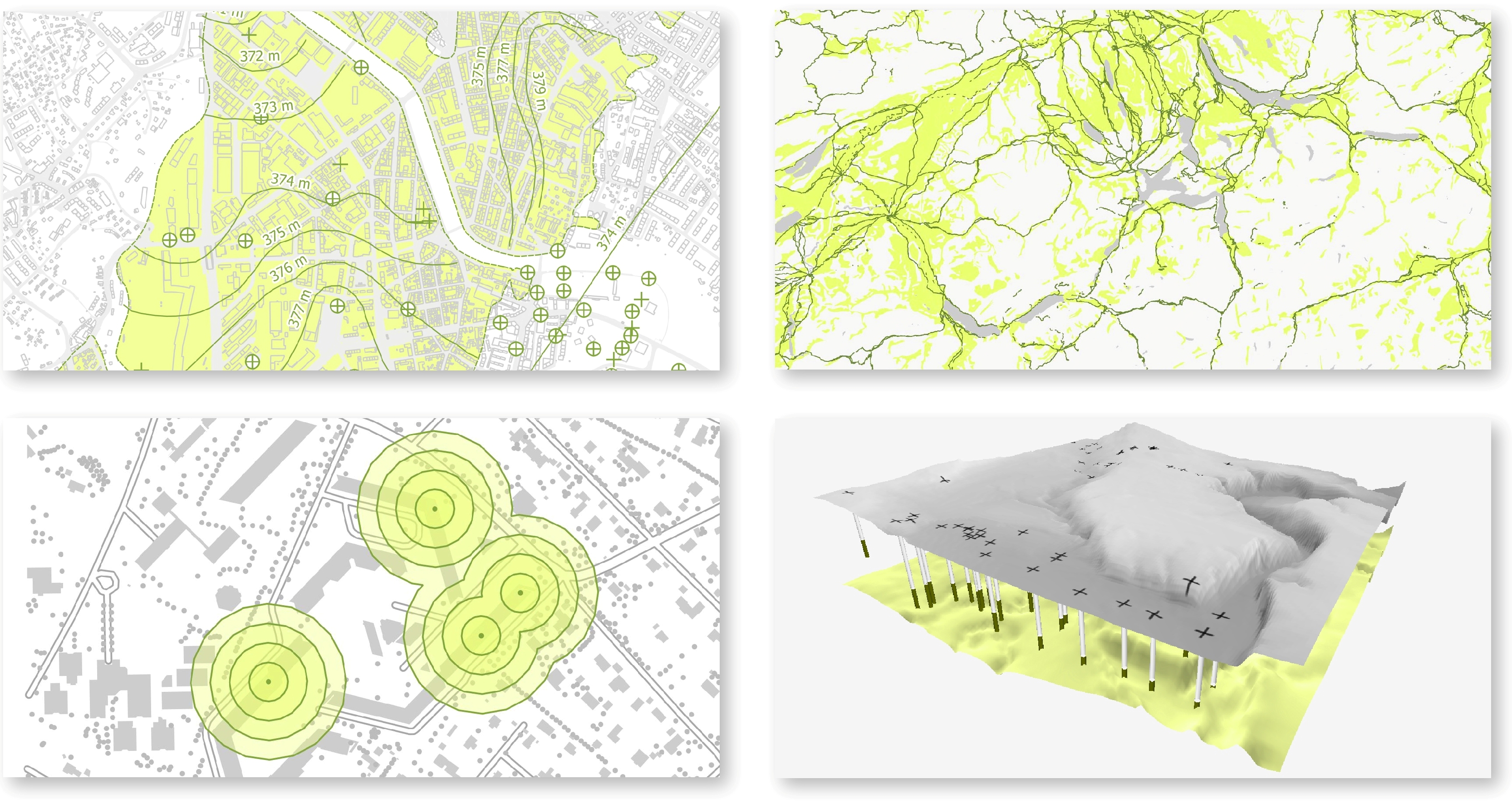
Examples of QGIS course modules
- Practioner-oriented functionalities
- Engineering consulting firms (e.g., hydrology/hydrogeology)
- International projects (e.g., NGOs, IOs)
- Territory management
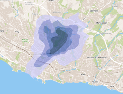
- Vector or raster data analysis/processing
- Digital Elevation Models
- Processing of remote sensing data
- Cartographic design (with/without open source graphics editor)
- Format conversion (e.g., AutoCAD, googleEarth)
- QGIS in the field (e.g., Androïd tablet)
- Theoretical introduction to a specific topic